Forest inventory and timber measurement across Ireland.
Pre-sale measurement, inventory, thinning control, establishment and windblow surveys, boundary marking and inspection path cutting — from Ireland’s largest independent provider of forest inventory and timber measurement, under national measurement contracts since 2012.
From a single stand to a national contract.
The same crews and the same procedures, whether the job is one woodland before a sale or a programme of measurement across a semi-state estate.
Pre-sale measurement
Standing volume by assortment for a thinning or a clearfell, measured to the same plot procedures each time with calliper, vertex and digital field capture.
Inventory
Stocking, top height, basal area and yield class by subcompartment; revised boundaries where the crop warrants them; canopy cover and productive area.
Thinning control and marking
Thinning control plots, post-thinning surveys and continuous cover marking, measurement and reporting.
Establishment and crop surveys
Establishment surveys and audits, sub-optimal crop surveys, pre-screening and old woodland site assessments.
Windblow and damage surveys
Storm, fire and windblow damage assessed on the ground and from the air, with the affected area mapped and measured.
Boundary marking and inspection paths
Boundary marking, felling-area delimitation, new forest road marking and inspection path cutting.
LiDAR calibration and strategic plots
Ground plots measured to calibrate and check airborne and drone LiDAR, and feature collection with QA/QC to the client’s data standards.
Your systems, your standards
Field data captured digitally on rugged tablets and delivered in the formats and structures your own forest management and GIS systems expect.
Inventory from the air that stands up on the ground.
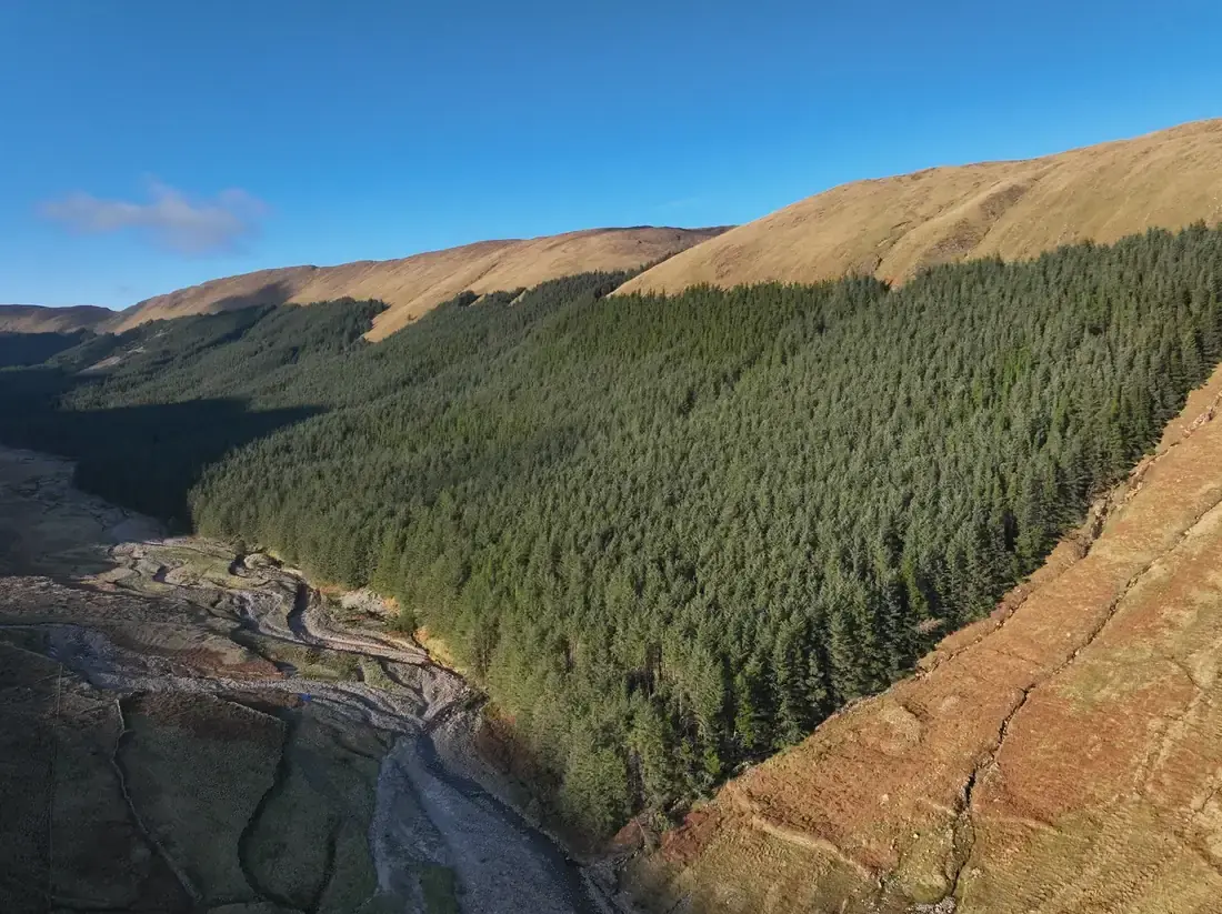
Where a crop is large, remote or has no forest road, we fly it first. Nearly 300 ha of mature Sitka spruce on a mountainside with no forest road was surveyed in a single job: 1.19 billion LiDAR points at over 400 per square metre — more than 270 of them classified ground points beneath the canopy — flown in December and followed by ground plots. The owner received revised subcompartments, yield classes and a volume breakdown by sawlog, pallet and pulp.
Every tree crown is detected from the point cloud, with top heights and a 25 m stocking grid summarised by subcompartment; canopy gaps and windblow are mapped and measured, so productive area is known before anyone walks the site. The LiDAR plots are benchmarked against field measurement — on a 121 ha investment property, in 15 subcompartments — and the field plots still calibrate the result.
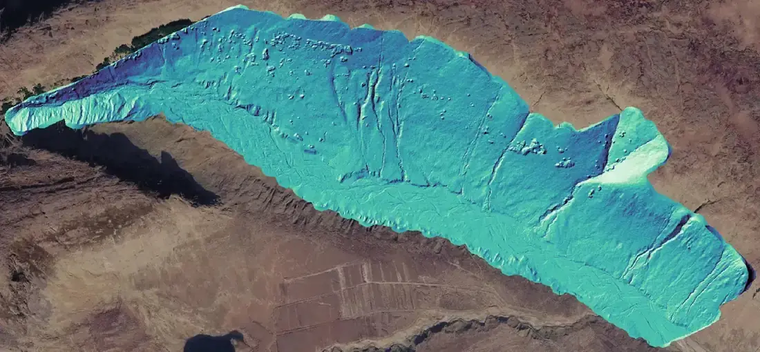 Terrain model beneath the canopy
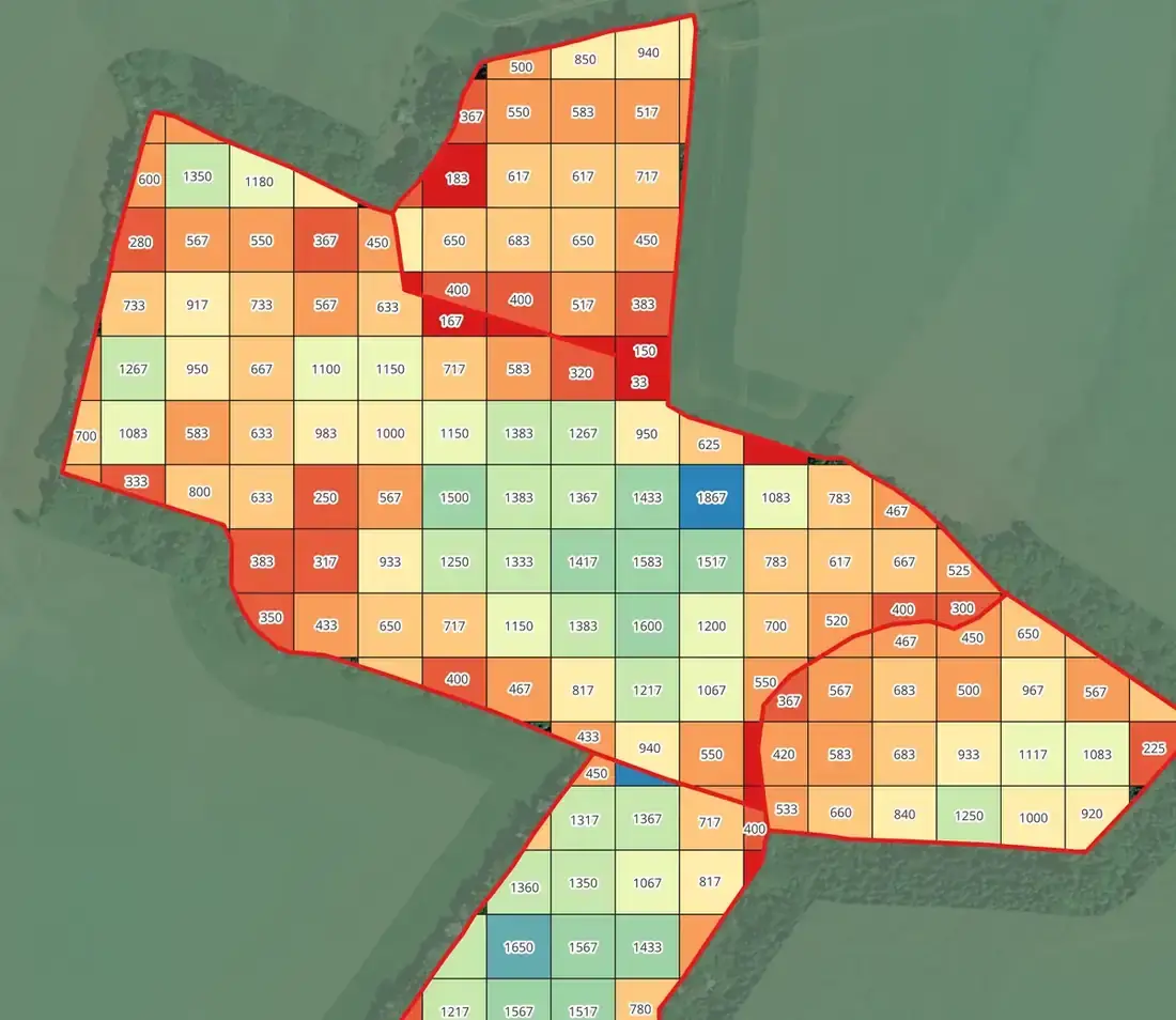 25 m stocking grid
 Every crown separated
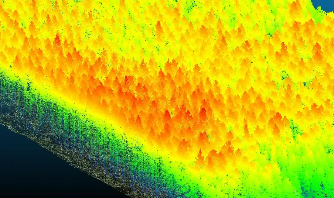 Ground and canopy separated
Measurement at every scale.
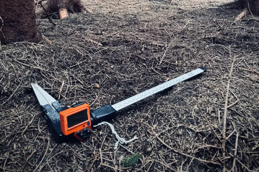
Timber measurement across Ireland for a semi-state company
Pre-sale measurement, inventory, LiDAR calibration plots, feature collection, boundary marking, inspection path cutting and establishment surveys for a semi-state forestry company — the work Danny Quinn began in 2001 and the company was founded on, delivered under national tenders since 2012.
On the projects pageLiDAR-enhanced inventory of a mountainside forest
Nearly 300 ha of mature Sitka spruce with no forest road: 1.19 billion LiDAR points, ground plots, revised subcompartments, yield classes and volume by sawlog, pallet and pulp.
On the projects pageLiDAR inventory benchmarked against ground plots
Top height, stems per hectare, basal area and canopy cover by subcompartment from 0.04 ha LiDAR plots, benchmarked against the owner’s own field measurements — inventory from the air that stands up on the ground.
On the projects pageBefore you pick up the phone.
Who do you measure for — buyers or sellers?
For whoever commissions the work, as an independent measurer. FMI neither buys timber nor harvests it, so a pre-sale measurement from us is the owner’s own evidence of what is standing — and the basis for a sale by tender if that is what follows.
Can LiDAR replace ground plots?
It changes what the plots are for. On one recent job the LiDAR inventory — top height, stems per hectare, basal area and canopy cover by subcompartment from 0.04 ha LiDAR plots — was benchmarked against the owner’s own field measurements; on a 121 ha investment property it was checked against ground plots in 15 subcompartments. Ground plots still calibrate and check the model; the LiDAR carries the result across every hectare.
What do you deliver?
Volumes by assortment, stocking, top height and yield class by subcompartment, revised subcompartment boundaries where the crop warrants them, maps, and the field data itself in your formats — checked by a second team member before it leaves the office.
Need the crop measured?
Tell us where it is and roughly how big. A forester replies within one working day. The first call is free.