From a single stand to a whole estate.
A selection of recent and past work, showing the range of questions we are asked by energy companies, semi-state bodies, investment fund managers, private forest owners and farmers across Ireland. Client sites are shown without names unless the owner has agreed.
Selected projects
A producing forest, managed to keep producing
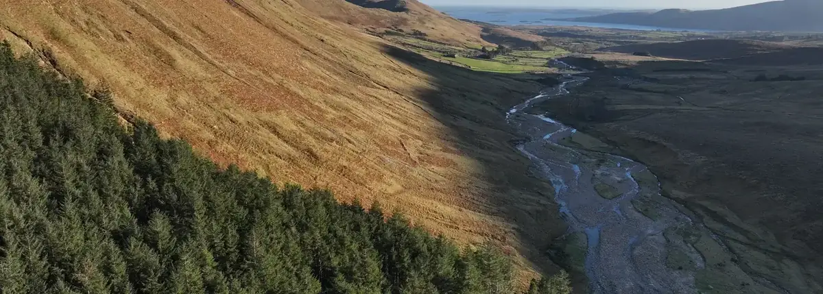
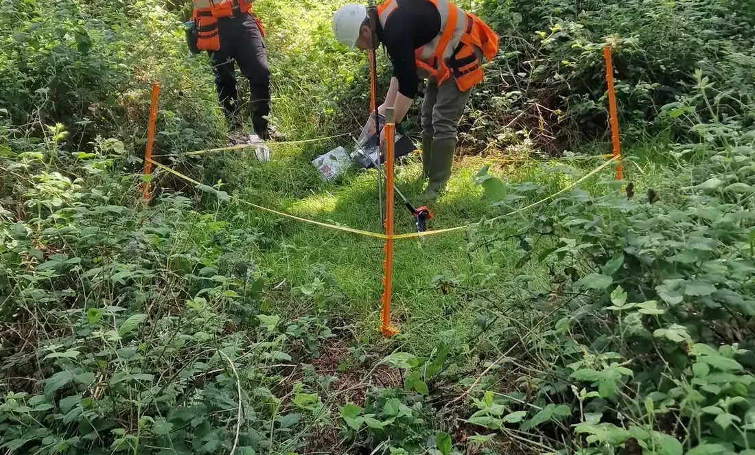
Forest manager since 2019 for a utility’s 640 ha lakeside estate — 418 ha of it forest, mainly 1960s conifer — around a public drinking-water reservoir, beside a Special Protection Area and under a heavily walked greenway. Moved from clearfell rotations to continuous cover in 2025: 26.8 ha thinned, 2,058 m³ felled with every stem marked and every load reconciled, 82 permanent biodiversity plots, a finalist place at the RDS Irish Forest & Woodland Awards 2025/26 and a field visit by the EU Nature Directors.
Read the case study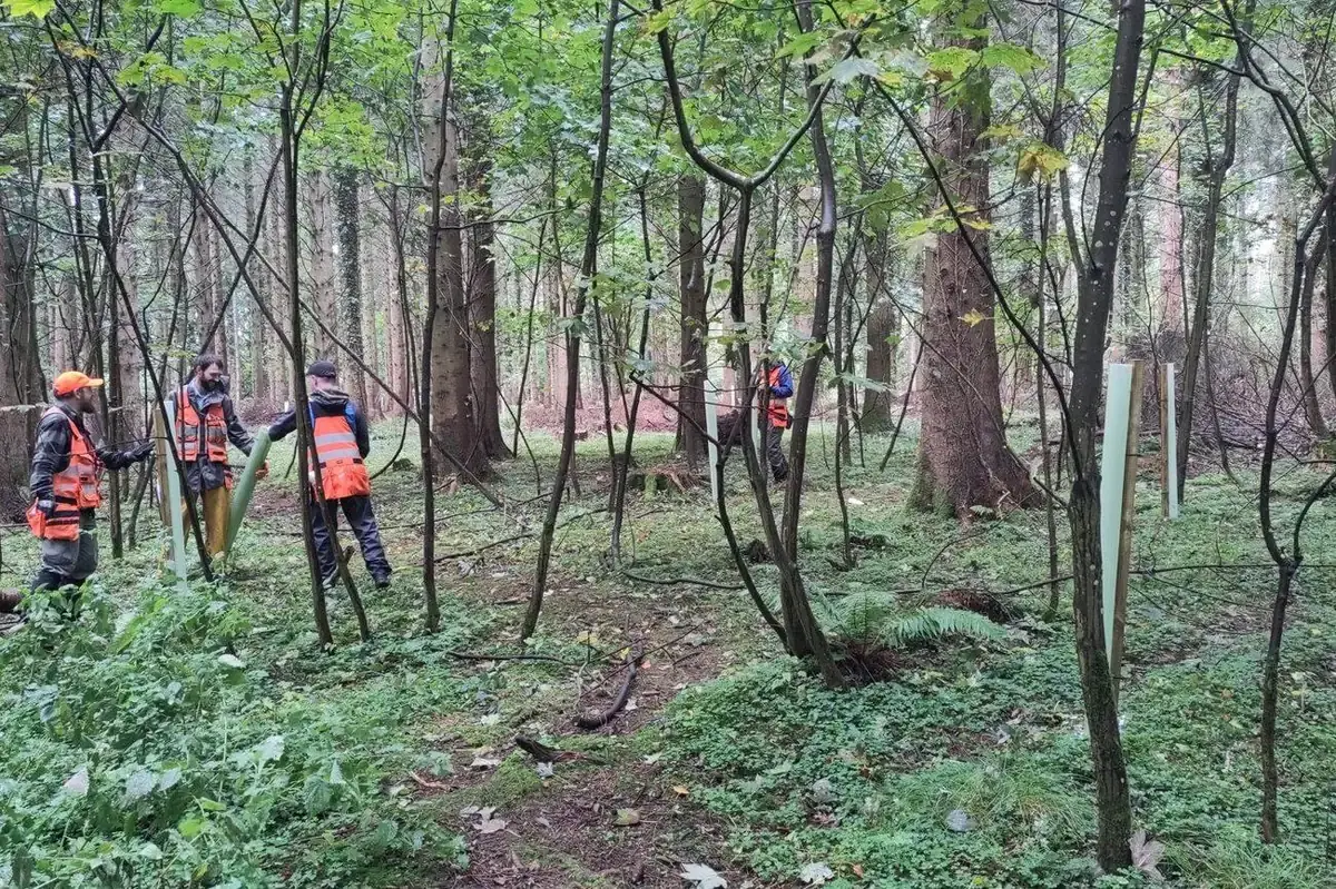
Protecting the next crop: 590 native saplings, each one a point in the GIS
Under continuous cover the next crop has to establish beneath the canopy while it is still being thinned, and deer browsing is the one thing that stops it. In autumn 2026, at the owner’s direction and as part of its commitment to return its lakeside habitats to nature, FMI’s crews found 590 naturally regenerating native saplings across three sites — ten species, three in four of them oak — and protected each one with a shelter and stake, after 200 Irish oak had been planted as enrichment the previous winter: no fencing, no machinery, no ground disturbance, and every stem GPS-recorded so it can be found again and checked.
Read the case study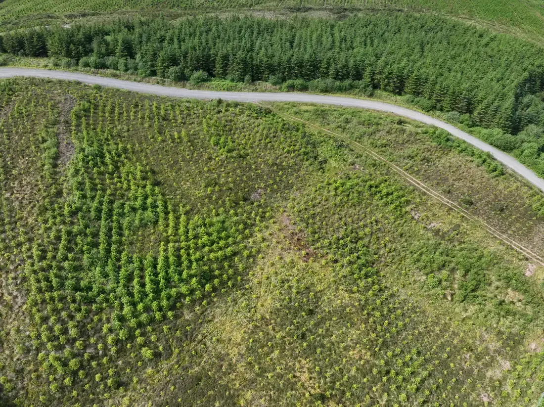
Wind farm restock assessment
Multispectral drone survey, field inspection and soil investigation of the areas replanted after infrastructure works: 4.02 ha needing work identified, with an action for every area.
Read more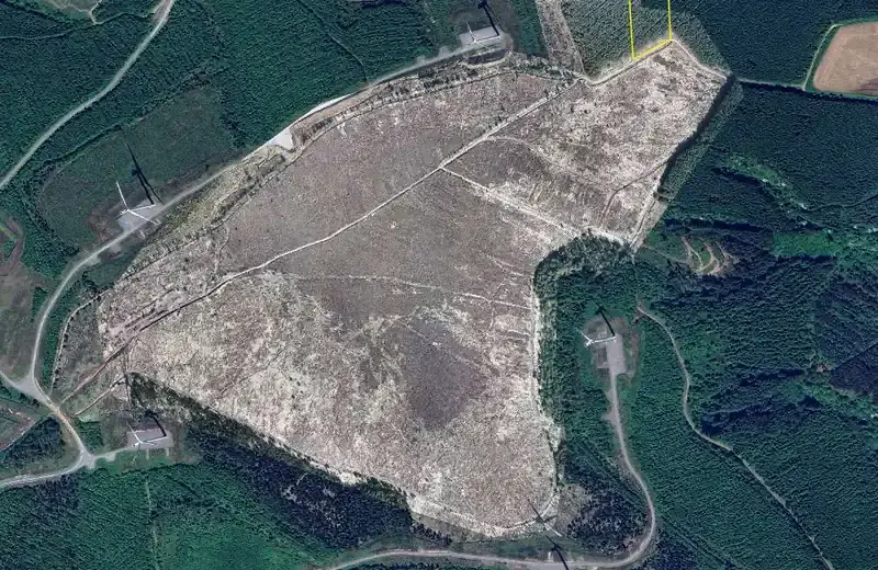
Hen harrier habitat plan on a wind farm
Survey, inventory, timber volumes, operational scenarios and the licensing route for a plan to restore nesting habitat and clear conifer regeneration from the edges of 46 ha of upland heath.
Read moreSolar projects across Ireland
Forestry support on numerous solar projects for a major energy company — felling licences and the forestry issues a site raises between planning and grid connection.
Read more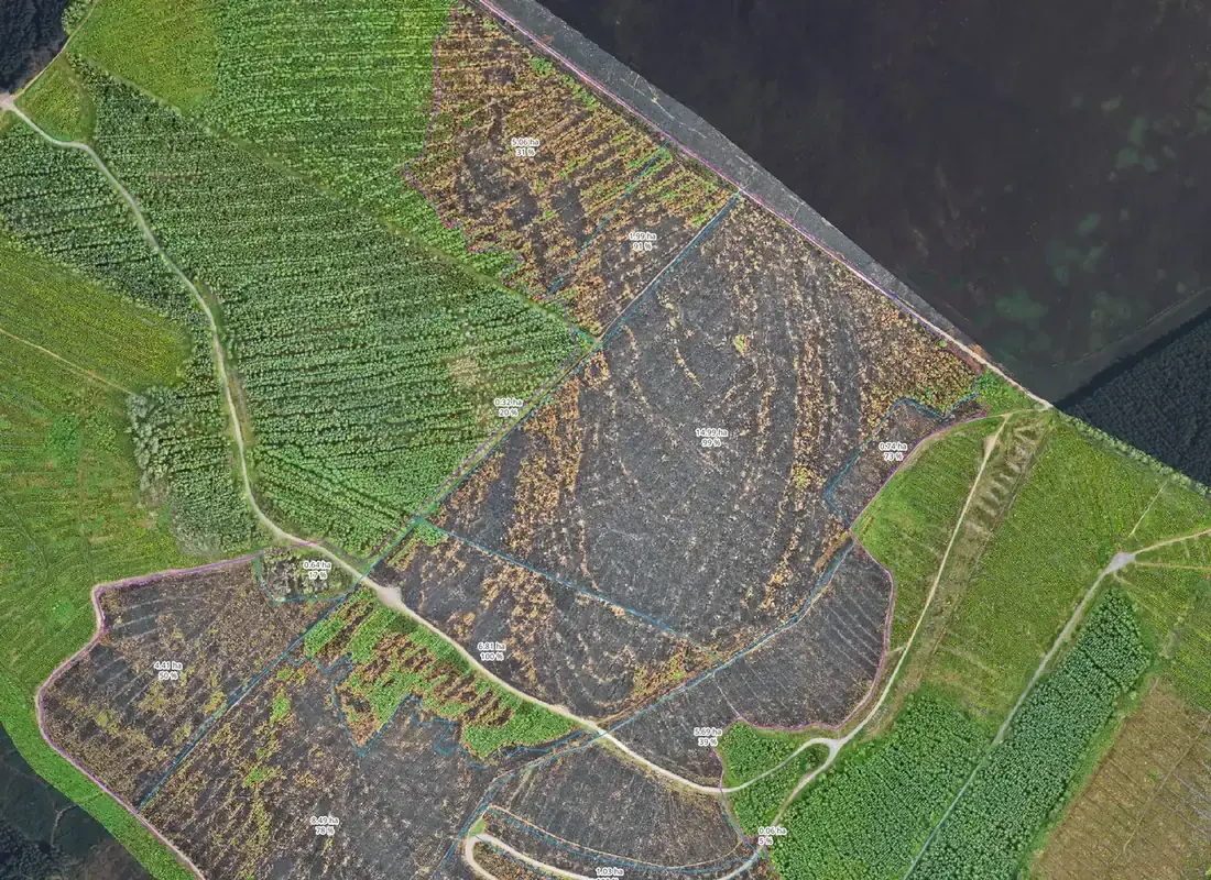
Fire damage assessment after a summer fire
Burnt area mapped from multispectral drone imagery and reported area by area: 94 ha assessed and 57 ha burnt on one property, with a neighbouring property flown the same day.
Read more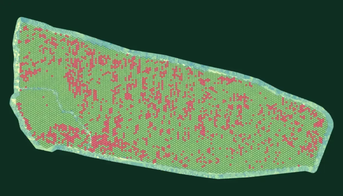
Phytophthora survey of larch across nine properties
Nine larch properties flown with the multispectral drone in June and July 2026. Each is reported on three map sheets — orthomosaic, GNDVI and tree health assessment — with the crop classified healthy, not healthy or dead, and a results table for every subcompartment.
Read more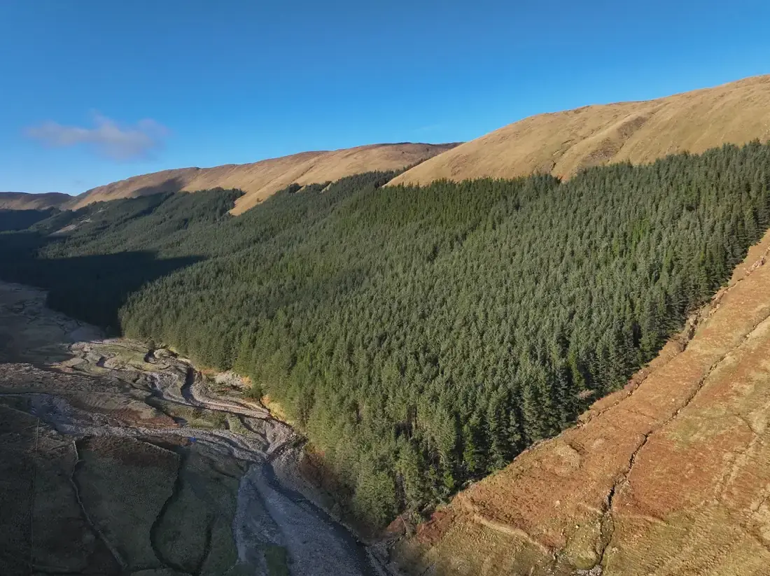
LiDAR-enhanced inventory of a mountainside forest
Nearly 300 ha of mature Sitka spruce on a mountainside with no forest road: 1.19 billion LiDAR points at over 400 per square metre — more than 270 of them classified ground points beneath the canopy — flown in December and followed by ground plots: revised subcompartments, yield classes and volume by sawlog, pallet and pulp.
Read more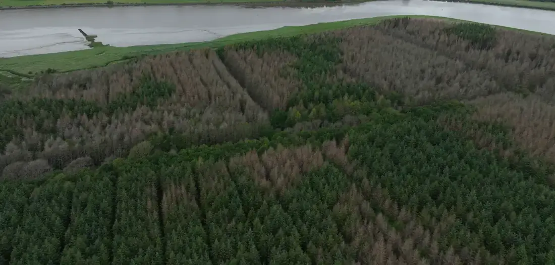
Why is the crop dying?
LiDAR, 45 MP photography and multispectral imagery combined to trace tree mortality to likely tidal flooding, simulate a breach and pinpoint a weak section of embankment to a single grid reference — with the elevation model referenced to Malin Head datum.
Read more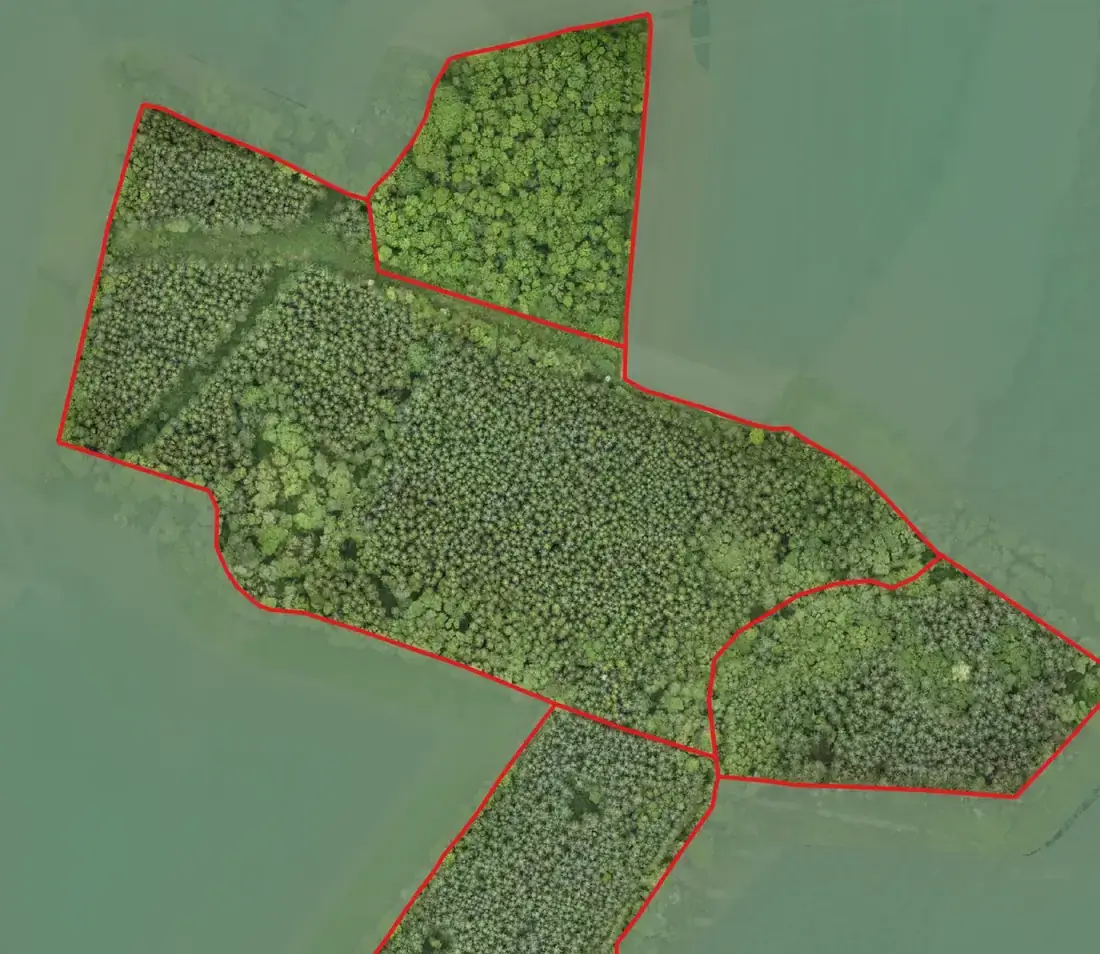
Ballyhale — every survey output from one flight
Orthophoto at 1.5 cm per pixel, canopy height model, individual tree detection, a 25 m stocking grid, hillshade and multispectral indices for a privately owned forest.
Read more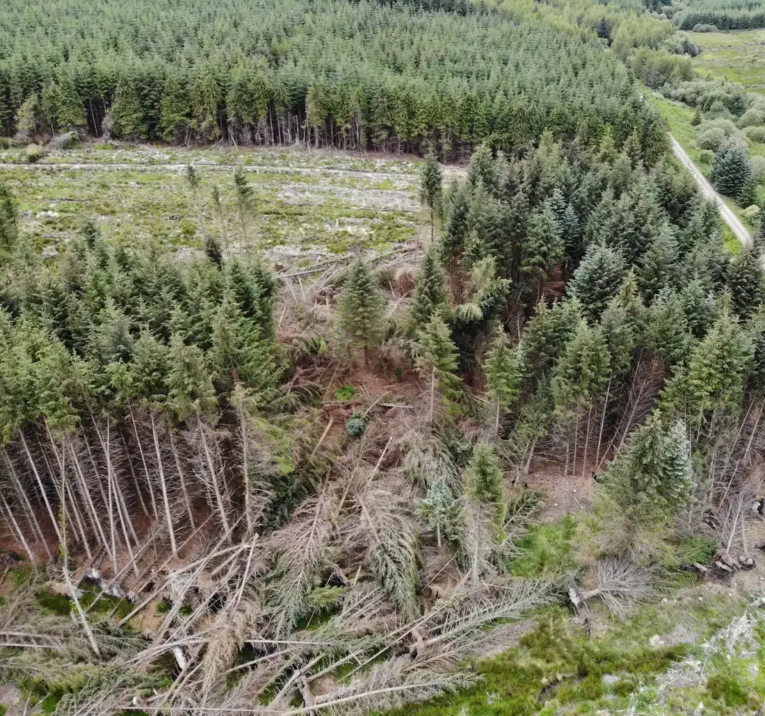
Windblow property surveys
Drone surveys of storm-damaged forest properties: the blown area mapped and measured, with aerial photographs of each property.
Read more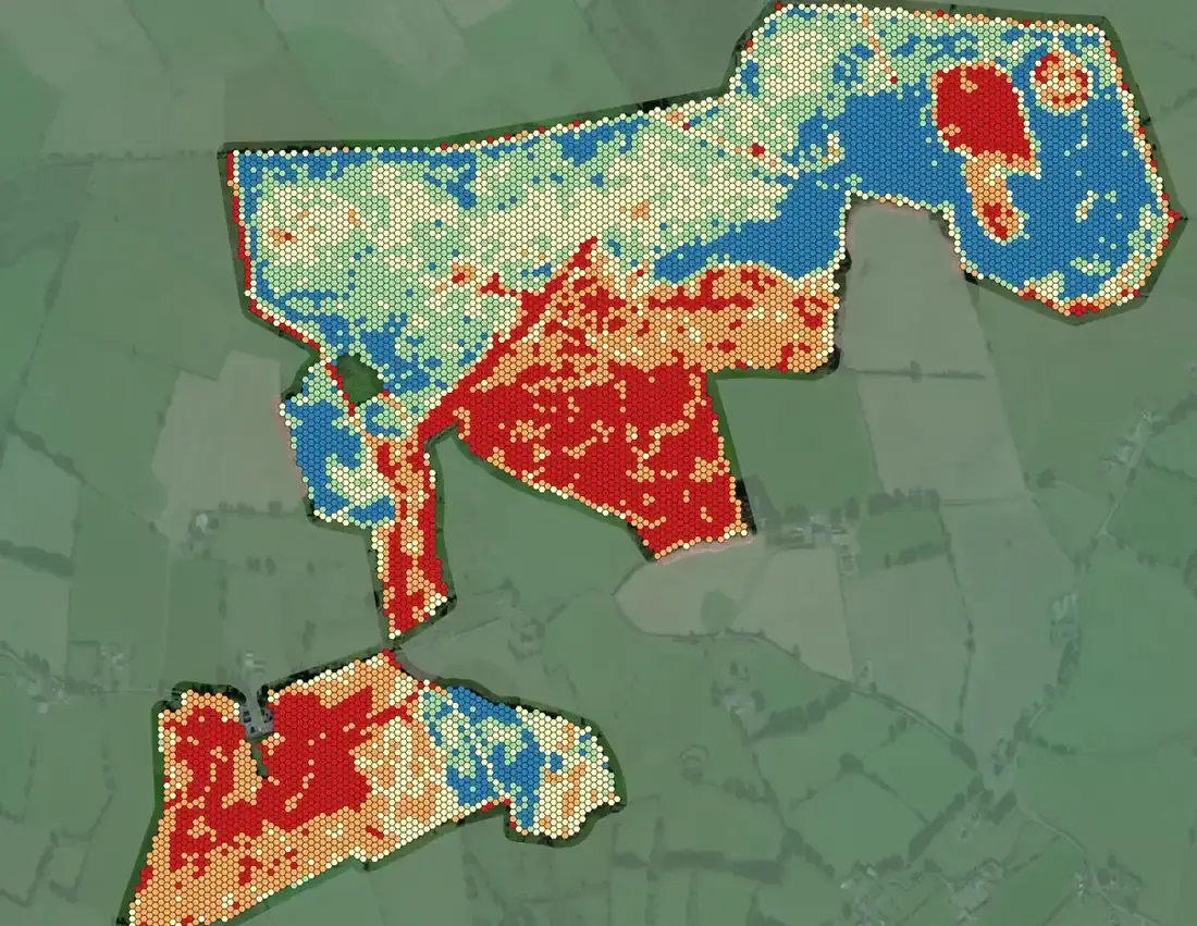
Productivity mapping for an investment property
Leaf chlorophyll index on a hex grid, tree-health classification and stocking from a LiDAR and multispectral survey of 121 ha owned by an investment fund — the LiDAR inventory benchmarked against ground plots in 15 subcompartments.
Read more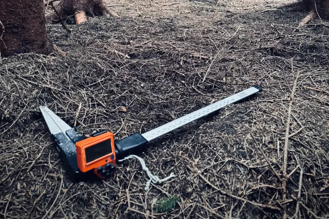
Timber measurement across Ireland for a semi-state company
Pre-sale measurement, inventory, LiDAR calibration plots, feature collection, boundary marking, inspection path cutting and establishment surveys for a semi-state forestry company — the work Danny Quinn began in 2001 and the company was founded on, delivered under national tenders since 2012.
Read more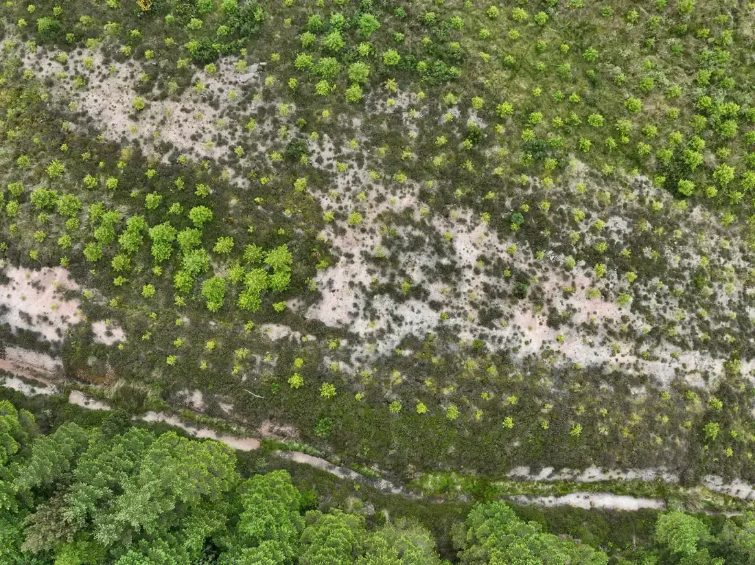
Ash dieback, Phytophthora and crop surveys
Ash dieback and Phytophthora disease assessments, sub-optimal crop surveys, establishment audits and old woodland site assessments — the specialist field surveys behind management decisions.
Read more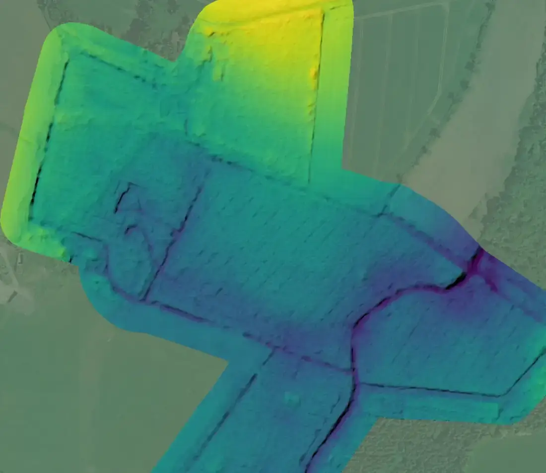
Access and roading for a land-locked property
LiDAR and imagery so the owner’s resource and engineering team could plan access and roading: raw point cloud in ITM, a 5 cm terrain model and shapefiles, delivered for immediate use.
Read more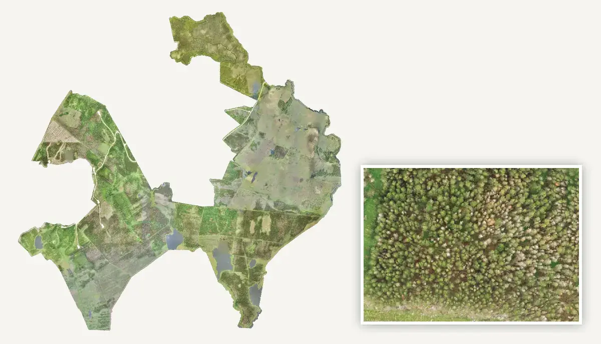
A pioneering large-scale drone survey
One of the largest single-layer continuous raster outputs generated by drone in Ireland: over 1,000 ha of fire-damaged forest, flown over several days in June 2020 with quadcopter drones and processed into one seamless high-resolution orthophoto layer for an Irish semi-state body — delivered straight into the owner’s forest-management system to plan bog restoration and assess crop damage, at a time when drone mapping at that scale was rare.

LiDAR inventory benchmarked against ground plots
Top height, stems per hectare, basal area and canopy cover by subcompartment from 0.04 ha LiDAR plots, benchmarked against the owner’s own field measurements — inventory from the air that stands up on the ground.
Read moreTwenty-five years of field surveys, plans and specialist work.
Not every job becomes a case study. These are the kinds of work FMI has delivered for forest owners, semi-state companies, utilities and energy companies over 25 years.
Two documents procurement teams ask for.
Have a question like one of these?
Tell us about the woodland or the site. A forester replies within one working day. The first call is free.