An independent company, run by foresters.
Danny Quinn has provided forest measurement services since graduating in forestry in 2001; Forest Measurement Ireland Ltd was registered in January 2012 and has grown from them. Today FMI is Ireland’s largest independent provider of forest inventory and timber measurement, and manages, values and surveys woodland for semi-state companies, investment fund managers, energy companies, private forest owners and farmers.
Led by a forester, run by foresters who measure the crop themselves.
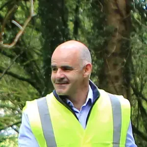
A team of nine. Our foresters — every one holding a degree in forestry — are based in Sligo, Cavan, Kildare, Wicklow, Wexford, Kilkenny, Waterford and Tipperary and work in every county. Aerial operations are led by three IAA-registered pilots, with mission planning and aviation safety overseen by a serving airline captain and UAS instructor and examiner who has supervised our operations manual since 2021; data management and processing by a senior forester with 13 years in GIS and remote sensing; and health and safety by a director with 20 years’ HSE management experience.
What independent means
FMI neither buys timber nor harvests it. We measure, plan, license, supervise and report for the owner — and when timber is sold, we design the sale and assess the bids, but the award is the owner’s. That is why a measurement or a valuation from FMI can be put in front of a buyer, a lender or a tender panel.
The things a procurement officer checks first.
- Registered Foresters with the Department of Agriculture, Food and the Marine (DAFM); members of the Society of Irish Foresters and ProSilva Ireland
- Registered drone operator with the Irish Aviation Authority (Operator ID IAA-2021-28153), with three IAA-registered pilots and an operations manual overseen by a commercial pilot since 2021
- Insurance in place: aviation liability, professional indemnity, public liability and employer’s liability — certificates on request
- Safety Statement under the Safety, Health and Welfare at Work Act 2005; quarterly risk assessments and site audits; crews Safe Pass, first-aid, manual-handling and environmental-risk trained
- Management systems run to ISO 9001, 14001 and 45001 principles (not certified); two-person sign-off on every dataset; 100% on-time delivery on our national measurement contracts since 2017
- Greenhouse-gas inventory to a method aligned with ISO 14064-1: 92.7 tCO₂e for March 2025–March 2026, 2.87 kg CO₂e per hectare surveyed
- Data protection: GDPR-compliant handling of enquiries and survey imagery, held on access-controlled systems in Ireland — see our privacy notice
- An Irish SME whose foresters live and work in eight counties; drone hardware part-funded by Kilkenny County Council
Continuous cover forestry and biodiversity monitoring, recognised twice in 2026.
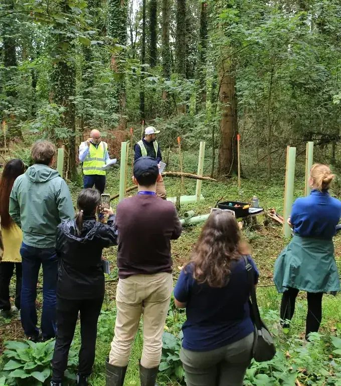 Presenting to the EU Nature Directors · 15 September 2026
Showing Europe’s nature directors what continuous cover looks like on the ground.
During Ireland’s Presidency of the EU, the Nature Directors of the member states visited a utility-owned estate under FMI management. FMI’s foresters presented the transition from clearfell rotations to continuous cover forestry and the network of permanent biodiversity plots that tracks it, and led a planting demonstration of the next crop establishing under the canopy.
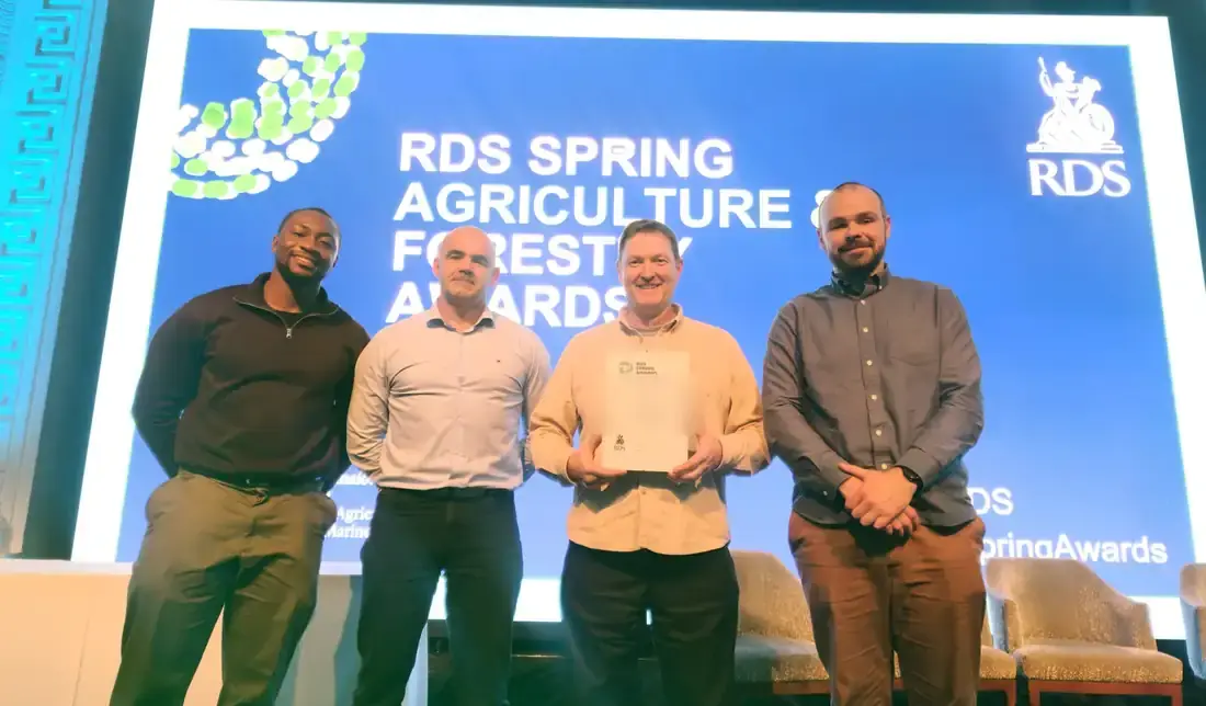 RDS Concert Hall, Dublin · April 2026
Finalist — Silvicultural Excellence & Innovation.
An estate under FMI management was shortlisted at the RDS Spring Agriculture & Forestry Awards for its planned, evidence-led transition from clearfell rotations to continuous cover forestry — the first areas converted in 2025, backed by a network of permanent biodiversity plots and habitat mapping across the estate.
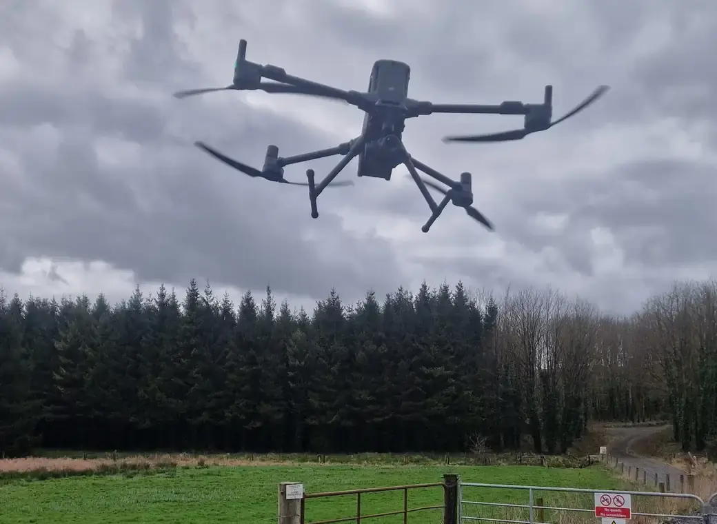
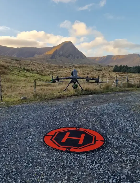 Lift-off at a mountain site
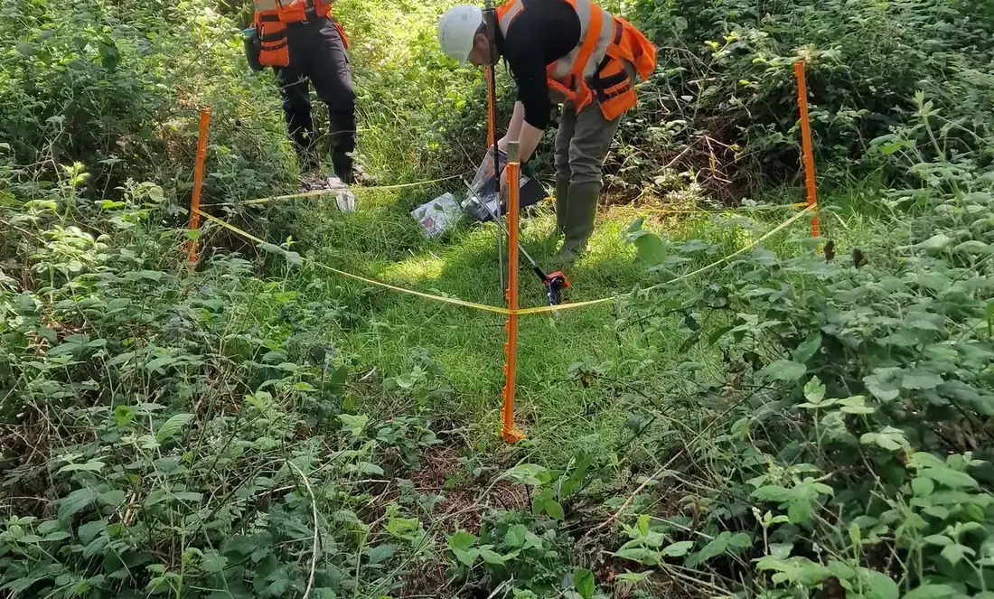 A permanent monitoring plot
On the ground and from the air — and the same people do both.
The foresters who fly a survey are the foresters who then walk the crop, mark the stems and stand over the numbers. Every dataset is signed off by a second team member before it leaves the office; every departure from a plan is recorded with its reason; and every client gets a named forester based in the region, with the MD a phone call away.
- Registered Foresters with the Department of Agriculture, Food and the Marine; members of the Society of Irish Foresters and ProSilva Ireland
- Registered drone operator with the Irish Aviation Authority (IAA-2021-28153); three IAA-registered pilots
- Two-person sign-off on every dataset; 100% on-time delivery on our national measurement contracts since 2017
- A greenhouse-gas inventory kept to a method aligned with ISO 14064-1 — drone LiDAR in place of manned aircraft, site work grouped geographically
Want to talk to one of us?
A forester replies within one working day. The first call is free.