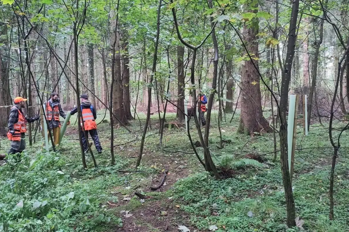
Forestry for organisations that own land for other reasons.
Reservoir catchments, generating stations, wind and solar sites, lines and roads: the forest is there to protect something else, and it has to be managed to a standard that stands up to an audit, a licence inspection and a member of the public. FMI manages forest for a utility and for investment funds across Ireland, and works to the same standard for any semi-state company or public body — one team, many projects.
Eight things one forestry team can carry for you.
Most of these are in hand now on one utility estate; the rest are running for energy developers and funds. Each is backed by a project on the projects page.
Estate management under a written plan
A management plan with objectives ordered by constraint, prescriptions, indicators and a review date; an annual operating programme; annual reporting of revenue and the programme it funded.
Continuous cover transformation
From objectives through marking, licensing and harvesting to measurement — on 1960s conifer in a drinking-water catchment, beside an SPA, under a greenway.
Timber sales management
We design the sale, assess the method statements, supervise the crew fortnightly and reconcile every load against weighbridge dockets. We neither buy timber nor harvest it; the award is yours.
Licensing and compliance
Felling and forest-road licences, Appropriate Assessment, Natura 2000 and water-catchment conditions, the closed season — every licence and consent tracked against the operation it covers.
Biodiversity monitoring and habitat mapping
A permanent plot network remeasured on a fixed cycle, Fossitt Level 3 habitat mapping at estate scale, deadwood and veteran-tree retention written into the prescriptions.
Drone, LiDAR and multispectral survey
Flown and processed in-house: survey-grade LiDAR topographical survey with ground control and independent checkpoints, in ITM and Malin Head datum; orthophotography at 1.3–5 cm; canopy models, tree health and change documentation for planning, road design and public communication.
Wind, solar and grid projects
Felling licences and exemptions, replant-elsewhere land, restock assessment and habitat plans on forested development land — at every stage of a project.
Landowner liaison and visits
Neighbouring landowners and access, public-facing constraints programmed and recorded, and presenting the forest to visitors — from award judges to the EU Nature Directors.
Quality you can check, not just read about.
A tender panel wants evidence that the work is done the way the method statement says. These are the records we keep as a matter of course.
Every departure recorded
Marking is a decision. Where the prescription changes on the ground — a sett, a storm, a route that would damage infrastructure — the change is recorded with its reason and its volume consequence.
Reconciled, not assumed
Felled volume, volume sold and assortment out-turn reconciled for every sale on verified weighbridge dockets, tallied independently of the contractor and the mill.
Repeatable measurement
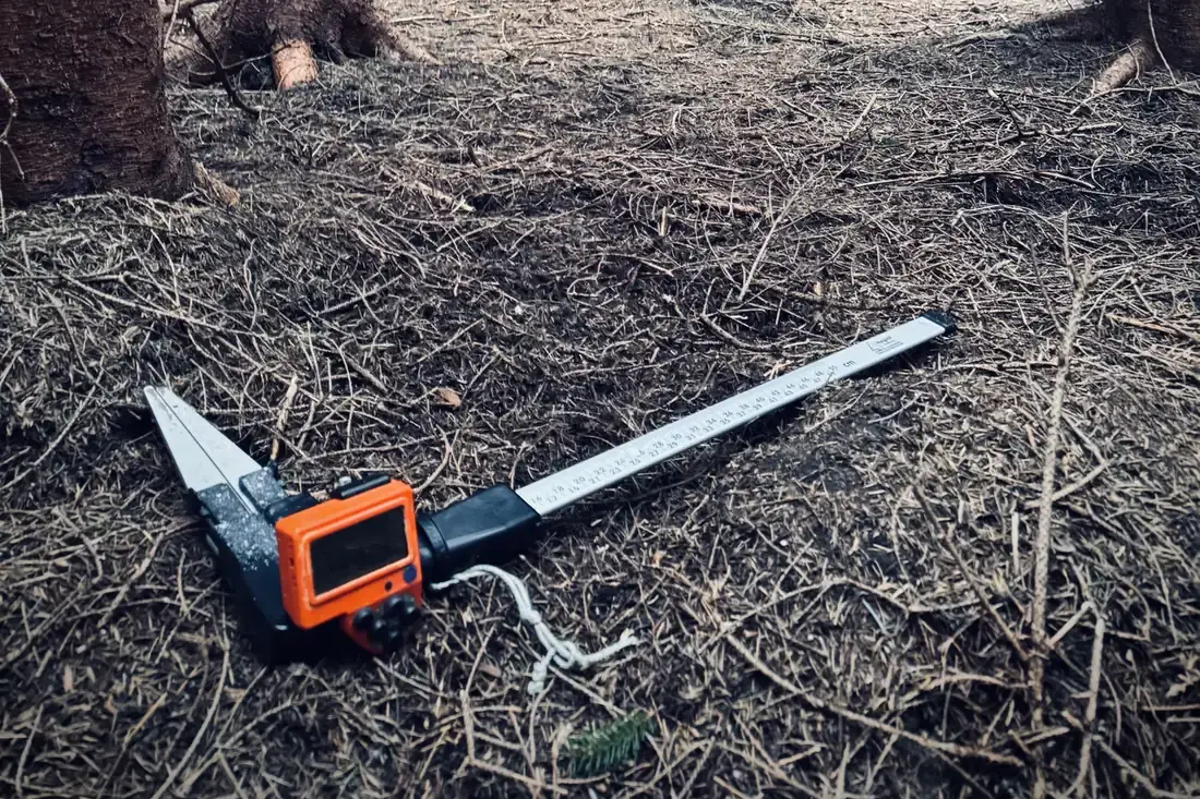
Inventory to the same plot procedures each time, with calliper, vertex and digital capture — a repeatable, auditable basis for marking and for post-harvest reconciliation.
A GIS record of every stem and plot
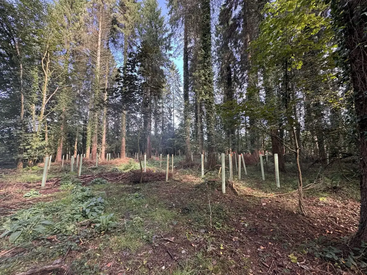
Every protected stem, every planted tree and every permanent plot held as a point in Irish Transverse Mercator, recorded in the field, so it can be found again and reported on.
Procurement that stands up
Standing sales by scored tender — price, crew profile and CVs, programme and reliability — with experience of CCF, Natura 2000 sites and water-sensitive ground a condition of eligibility.
Insured, registered, trained
Aviation liability, professional indemnity, public and employer’s liability insurance; IAA-registered drone operator (IAA-2021-28153); DAFM Registered Foresters; Safe Pass, first-aid and environmental-risk training; quality, environmental and safety systems run to ISO 9001, 14001 and 45001 principles (not certified).
The same foresters, across an estate, a wind farm and a solar programme.
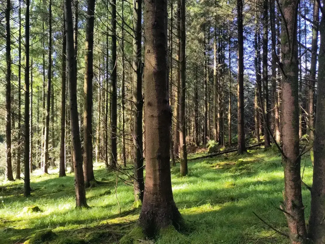
A utility’s forest estate, moved to continuous cover
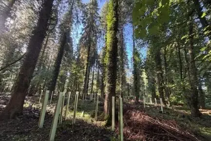
A 640 ha lakeside estate, 418 ha of it forest, around a drinking-water reservoir: plan, inventory, licences, timber sales by scored tender, 82 permanent plots, 590 protected native saplings — and the EU Nature Directors in the stand.
Read the case study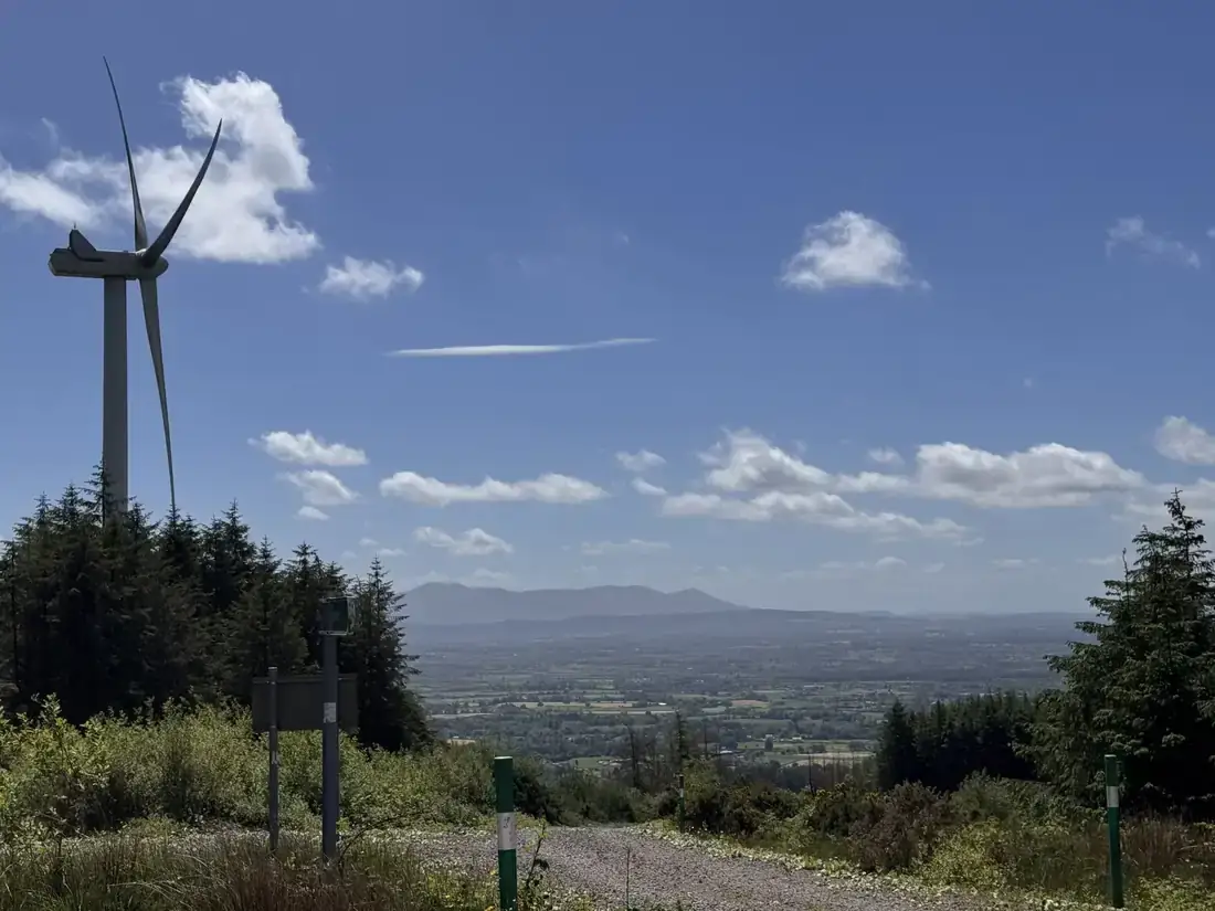
One wind farm, three jobs over two years
A restock assessment with soil investigation, a hen harrier habitat plan with the licensing route, and drone survey inside an operating wind farm.
Read more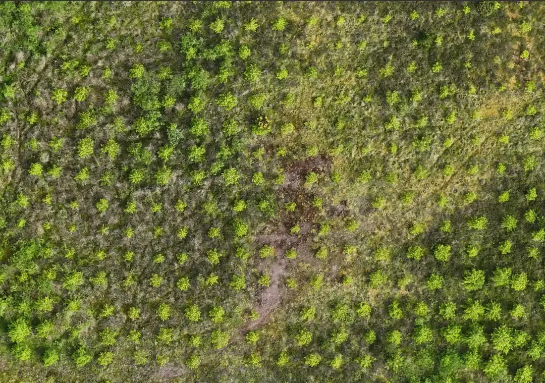
Numerous solar projects for a major energy company
Felling licences and the forestry issues a site raises between planning and grid connection — the same team, project after project.
Read moreYour plan, your standards, your systems.
We work to the client’s own protocols where they exist and write them down where they do not. Commercial decisions stay with the owner; we prepare the silvicultural content, assess the method statements and report what happened.
- A named forester for every contract, based in the region, with the MD a phone call away
- Fortnightly supervision during operations, weekly reporting, a close-off report for every sale
- Method statements, RAMS, insurance certificates and safety statement available on request
- Data in the formats your GIS and CAD expect — ITM with Malin Head heights, GeoTIFF, shapefile, DWG — and maps as A2 PDFs
- Public-facing routes programmed for periods of lower use, with the constraint recorded and referred in advance
- Grant and licence applications prepared in the owner’s name
Planning a tender, or a project on forested land?
Tell us what the land is there to do. A forester replies within one working day. The first call is free.