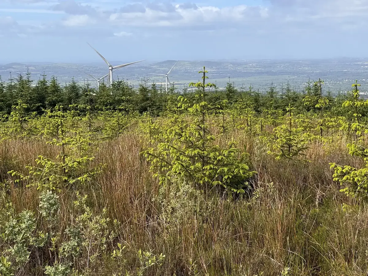
Forestry consultants for wind farm, solar and energy projects in Ireland.
Felling licences, replanting obligations, survey-grade LiDAR topographical survey, keyhole felling, restock assessments and habitat plans — FMI handles the forestry side of energy infrastructure at every stage, so the project keeps moving.
Wind and solar projects are often built on forested land. We deal with that part — at every stage.
Turbines, tracks, cable routes and solar arrays through forest bring licences, replanting obligations, reinstatement and habitat commitments with them. FMI works for wind farm and solar companies across Ireland on all of these — as foresters who also fly the survey and walk the ground.
- Forestry inputs to planning applications and environmental impact (EIAR) chapters
- LiDAR topographical survey and orthoimagery for layout, access-road and cable-route design — controlled, checked and delivered in ITM and Malin Head datum
- Felling licence applications, licence upgrades and non-replanting exemptions
- Replant-elsewhere (compensatory) land — finding it, assessing it, licensing it
- Site boundary pegging and marking; felling-area delimitation
- Keyhole felling around turbine bases, tracks and cable routes — planned, licensed and supervised
- Timber sales from cleared areas — measured and reconciled for you
- Supervision of forestry contractors against the licence conditions
- Reinstatement advice for disturbed forest ground
- Restock and reinstatement assessment — drone, ground and soils
- Habitat and species plans, with timber volumes and the licensing route
- Vegetation management near lines and turbines, planned and supervised; storm, fire and windblow assessment
- Forestry inputs to repowering and decommissioning

Before consent, through construction, and for as long as the turbines turn.
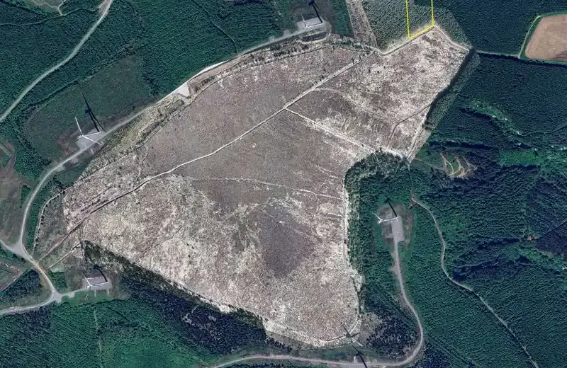
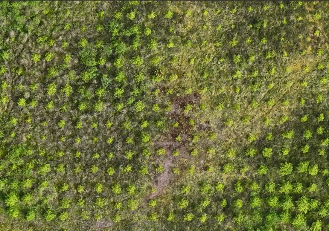 Replanted ground from the survey drone — vigour mapped tree by tree
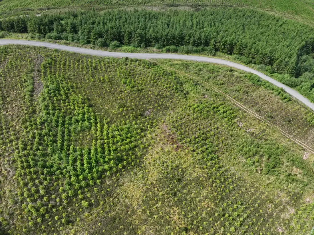 The replanted block from the air
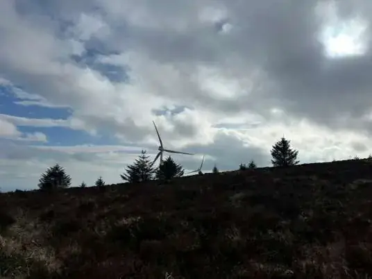
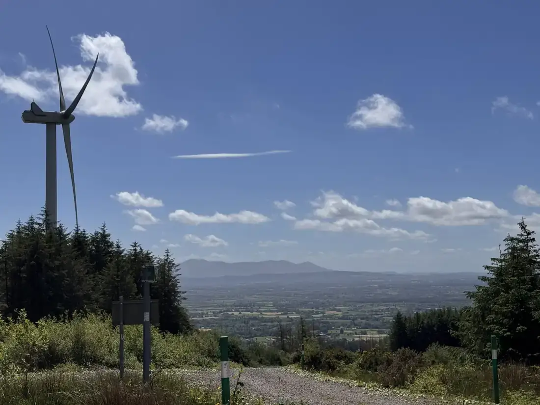 Access road on the wind farm
Why isn’t the restock taking — and what will?
After the wind farm’s infrastructure works, the disturbed forest areas were reinstated and replanted, but establishment was uneven. The operator commissioned FMI to find out why and to recommend remedial works. We flew the replanted areas with a multispectral drone to map vigour and stocking, targeted the field inspection at the areas of concern, and investigated the soils — depth, profile and pH — against two healthy control sites.
The answer was in the ground, not the trees: 100–250 mm of shallow, compacted, stony reinstated material, against more than 590 mm of forest soil at the controls. The report identified 4.02 ha needing work, with a recommended action, soil depth and pH for every area.
Delivered with the orthophotography, vegetation index maps and GIS map sets as standalone files for the operator’s own planning.
A habitat plan that a regulator and a contractor can both use.
A hen harrier nest site near one turbine had been lost as the surrounding forestry matured. FMI prepared a habitat enhancement plan to restore the former nesting areas, keep foraging habitat open and improve the birds’ commuting corridors.
- Ground survey by a qualified forester, backed by drone orthophotos of the project area
- Inventory of three conifer blocks (3.3 ha) and the 46 ha of upland heath whose edges need self-seeded conifers cleared
- Timber volumes for removal — 344 m³ Sitka spruce, 48 m³ lodgepole pine — by area
- Four operational zones and two machinery scenarios, weighed for cost against ground disturbance
- The felling-licence route, including non-replanting exemptions, with the site data recorded in the field
Prepared for the wind farm’s operator; implementation subject to client approval and licensing.
Solar farms, too.
FMI has supported numerous solar projects across Ireland for a major energy company and continues to do so: felling licences and the forestry issues a site raises between planning and grid connection.
Managing a utility’s forest estate.
FMI is forest manager for a utility’s 640 ha lakeside estate, 418 ha of it forest, around a drinking-water reservoir: the management plan, inventory, felling and road licences, timber sales by scored tender, harvesting supervision and reconciliation, biodiversity and habitat monitoring, and the transition from clearfell rotations to continuous cover that made its first transformation block an award finalist in 2025/26 and the estate the venue for the EU Nature Directors’ field visit in September 2026.
Terrain data your engineers will accept.
LiDAR and imagery for a land-locked forest property so the owner’s resource and engineering team could plan access and roading — point cloud in ITM, a 5 cm terrain model and shapefiles, delivered for immediate use. Every topographical survey is controlled, checked against independent checkpoints and reported at 95% confidence.
Built to work alongside your contractors, your ecologists and your safety team.
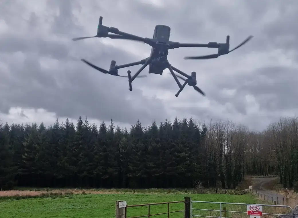 Survey flight from a forest entrance
Safety first
Field crews carry Safe Pass, first-aid and manual-handling certificates and follow each site’s induction and permit rules, with a site-specific risk assessment and method statement for every job under a safety management system led by a director with 20 years’ HSE experience. Protected-species checks, Appropriate Assessment conditions, aquatic setbacks and biosecurity are built into every method statement; no vehicles leave the forest roads, and ground-control targets are the only footprint a survey leaves. RAMS, insurance certificates and safety statement available on request.
Compliant aerial operations
A registered drone operator with the Irish Aviation Authority (Operator ID IAA-2021-28153) with three IAA-registered pilots; every task is risk-assessed and flown under an operations manual overseen by a commercial pilot — including survey flights within an operating wind farm, and in controlled airspace under IAA permission and coordination with air traffic control.
Regulatory experience
Registered Foresters with the Department of Agriculture, Food and the Marine (DAFM), with first-hand experience of felling licence applications, environmental screening and biodiversity classification, working to the Code of Best Forest Practice and FSC and PEFC criteria — and used to working alongside a client’s ecologists and engineers.
Data your team can use
Shapefiles, GeoTIFFs, DWG contours and GIS map sets in Irish Transverse Mercator with heights to Malin Head datum, imagery layers that import straight into forest management systems, and paperless field capture on rugged tablets.
Before you pick up the phone.
Can you deliver a topographical survey our engineers will accept?
Yes. Ground control and at least 20% independent checkpoints are measured by survey-grade GNSS, everything is delivered in ITM with heights to Malin Head datum, and the achieved accuracy is tested against the withheld checkpoints and reported at 95% confidence — with the control schedule and survey report to show it.
Do you work inside operating wind farms?
Yes. Our crews follow the site’s induction and permit rules, and our drone survey has been flown within an operating wind farm under the operator’s conditions.
What do you need from us to quote?
Where the site is, what is planned or already built, and any licences or planning conditions that already apply. A forester replies within one working day; the first call is free.
Can you take the felling licence and the replanting obligation off our hands?
Yes — from the application and the site data it depends on, through licence conditions during works, to replanting or replant-elsewhere land afterwards.
Planning a project on forested land?
Send us the site and what is planned. A forester replies within one working day. The first call is free.